
Birken-Honigsessen topographic map
Interactive map
Click on the map to display elevation.
Birken-Honigsessen
Morsbach mit den Ortsteilen Volperhausen, Siedenberg, Strick, Stockshöhe und Alzen, Friesenhagen, Katzwinkel (Sieg), Hövels, Wissen.
About this map
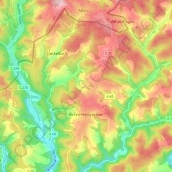
Name: Birken-Honigsessen topographic map, elevation, terrain.
Average elevation: 258 m
Minimum elevation: 154 m
Maximum elevation: 355 m