
Kallora topographic map
Interactive map
Click on the map to display elevation.
About this map
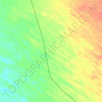
Name: Kallora topographic map, elevation, terrain.
Location: Kallora, Wakefield Regional Council, 南澳大利亚州, 5550, 澳大利亚 (-34.26615 138.25360 -34.17376 138.35818)
Average elevation: 30 m
Minimum elevation: 8 m
Maximum elevation: 53 m
Other topographic maps
Click on a map to view its topography, its elevation and its terrain.
Booborowie
澳大利亚 > 南澳大利亚州 > Booborowie
Booborowie, The Regional Council of Goyder, 南澳大利亚州, 5417, 澳大利亚
Average elevation: 452 m