
Thank you for supporting this site ❤️
Make a donation
Make a donation
Wichita topographic map
Click on the map to display elevation.
Thank you for supporting this site ❤️
Make a donation
Make a donation
About this map
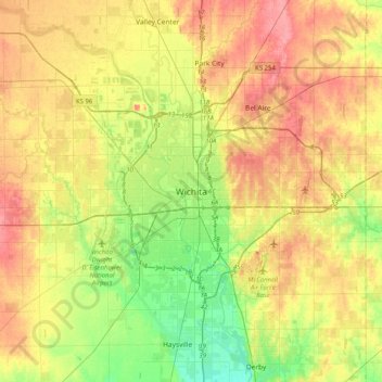
Name: Wichita topographic map, elevation, terrain.
Location: Wichita, Sedgwick County, Kansas, 67202, United States (37.53224 -97.49754 37.85224 -97.17754)
Average elevation: 410 m
Minimum elevation: 376 m
Maximum elevation: 444 m
Thank you for supporting this site ❤️
Make a donation
Make a donation