
Thank you for supporting this site ❤️
Make a donation
Make a donation
Baiershofen topographic map
Click on the map to display elevation.
Thank you for supporting this site ❤️
Make a donation
Make a donation
Baiershofen
Im Jahre 1975 drehte Dieter Wieland in der Reihe Topographie den Dokumentarfilm Baiershofen – ein Dorf in Schwaben.
Thank you for supporting this site ❤️
Make a donation
Make a donation
About this map
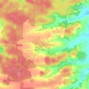
Name: Baiershofen topographic map, elevation, terrain.
Average elevation: 494 m
Minimum elevation: 444 m
Maximum elevation: 523 m
Thank you for supporting this site ❤️
Make a donation
Make a donation