
Penhook topographic map
Click on the map to display elevation.
About this map
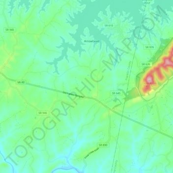
Name: Penhook topographic map, elevation, terrain.
Location: Penhook, Franklin County, Virginia, 24137, United States (36.94556 -79.66217 37.03415 -79.60299)
Average elevation: 271 m
Minimum elevation: 209 m
Maximum elevation: 489 m