
Stoffel topographic map
Interactive map
Click on the map to display elevation.
About this map
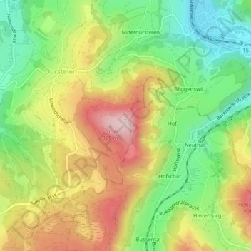
Name: Stoffel topographic map, elevation, terrain.
Location: Stoffel, Hittnau, Bezirk Pfäffikon, Zurique, 8335, Suíça (47.36075 8.85383 47.36085 8.85393)
Average elevation: 759 m
Minimum elevation: 623 m
Maximum elevation: 923 m