
Cantley topographic map
Interactive map
Click on the map to display elevation.
About this map
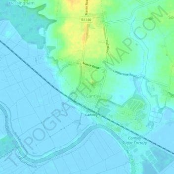
Name: Cantley topographic map, elevation, terrain.
Location: Cantley, Norfolk, East of England, England, United Kingdom (52.57787 1.50405 52.58684 1.51903)
Average elevation: 5 m
Minimum elevation: -4 m
Maximum elevation: 25 m