
Thank you for supporting this site ❤️
Make a donation
Make a donation
Savy topographic map
Click on the map to display elevation.
Thank you for supporting this site ❤️
Make a donation
Make a donation
About this map
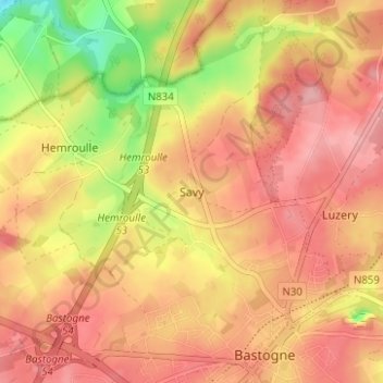
Name: Savy topographic map, elevation, terrain.
Location: Savy, Bastogne, Luxembourg, Wallonie, 6600, Belgique (49.99934 5.68548 50.03934 5.72548)
Average elevation: 498 m
Minimum elevation: 422 m
Maximum elevation: 540 m
Thank you for supporting this site ❤️
Make a donation
Make a donation
Other topographic maps
Click on a map to view its topography, its elevation and its terrain.