
Thank you for supporting this site ❤️
Make a donation
Make a donation
DIZ Area topographic map
Click on the map to display elevation.
Thank you for supporting this site ❤️
Make a donation
Make a donation
About this map
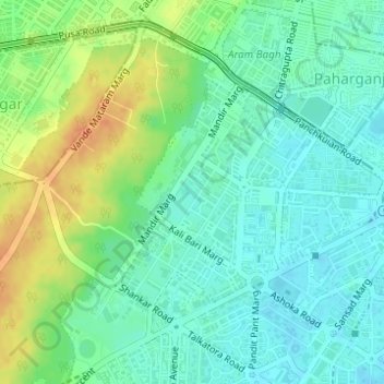
Name: DIZ Area topographic map, elevation, terrain.
Location: DIZ Area, Chanakya Puri Tehsil, New Delhi, Delhi, India (28.62532 77.19563 28.64147 77.21678)
Average elevation: 228 m
Minimum elevation: 214 m
Maximum elevation: 252 m
Thank you for supporting this site ❤️
Make a donation
Make a donation