
茫曲镇 topographic map
Interactive map
Click on the map to display elevation.
About this map
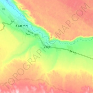
Name: 茫曲镇 topographic map, elevation, terrain.
Location: 茫曲镇, 贵南县, 海南藏族自治州, 青海省, 中国 (35.52996 100.73281 35.60996 100.81281)
Average elevation: 3,214 m
Minimum elevation: 3,031 m
Maximum elevation: 3,370 m
Other topographic maps
Click on a map to view its topography, its elevation and its terrain.