
Celendin topographic map
Interactive map
Click on the map to display elevation.
About this map
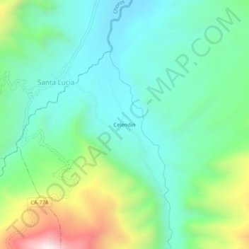
Name: Celendin topographic map, elevation, terrain.
Location: Celendin, Toribio Casanova, Cutervo, Cajamarca, Perú (-5.97865 -78.74474 -5.93865 -78.70474)
Average elevation: 837 m
Minimum elevation: 592 m
Maximum elevation: 1,478 m