
Thank you for supporting this site ❤️
Make a donation
Make a donation
Berthelsdorf topographic map
Click on the map to display elevation.
Thank you for supporting this site ❤️
Make a donation
Make a donation
About this map
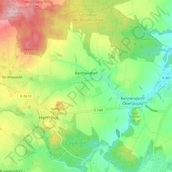
Name: Berthelsdorf topographic map, elevation, terrain.
Location: Berthelsdorf, Herrnhut, Görlitz, Saxony, 02747, Germany (51.00056 14.73642 51.05172 14.82031)
Average elevation: 321 m
Minimum elevation: 243 m
Maximum elevation: 440 m
Thank you for supporting this site ❤️
Make a donation
Make a donation