
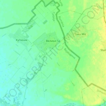
Veliki Gaj topographic map
Interactive map
Click on the map to display elevation.
About this map
Name: Veliki Gaj topographic map, elevation, terrain.
Average elevation: 84 m
Minimum elevation: 77 m
Maximum elevation: 96 m
Other topographic maps
Click on a map to view its topography, its elevation and its terrain.
Hajducica
Serbia > Vojvodina > South Banat Administrative District > Plandiste Municipality
Average elevation: 77 m