
Town of Union topographic map
Interactive map
Click on the map to display elevation.
About this map
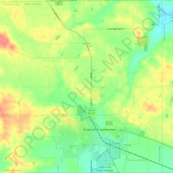
Name: Town of Union topographic map, elevation, terrain.
Location: Town of Union, Rock County, Wisconsin, United States (42.75829 -89.36918 42.84613 -89.24989)
Average elevation: 288 m
Minimum elevation: 259 m
Maximum elevation: 325 m