
Thank you for supporting this site ❤️
Make a donation
Make a donation
Tolono topographic map
Click on the map to display elevation.
Thank you for supporting this site ❤️
Make a donation
Make a donation
About this map
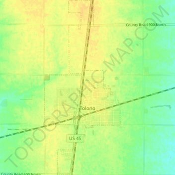
Name: Tolono topographic map, elevation, terrain.
Location: Tolono, Champaign County, Illinois, United States (39.96675 -88.27533 40.01760 -88.24651)
Average elevation: 221 m
Minimum elevation: 208 m
Maximum elevation: 229 m
Thank you for supporting this site ❤️
Make a donation
Make a donation
Other topographic maps
Click on a map to view its topography, its elevation and its terrain.