
Thank you for supporting this site ❤️
Make a donation
Make a donation
Paradise topographic map
Click on the map to display elevation.
Thank you for supporting this site ❤️
Make a donation
Make a donation
Paradise
Paradise is located at 47°23′17″N 114°48′3″W / 47.38806°N 114.80083°W / 47.38806; -114.80083 (47.388097, -114.800723), elevation 2,250 feet (690 m). It is at the confluence of the Flathead River and Clark Fork River. Nearby Patrick's Knob reaches 6,775 feet (2,065 m).
Thank you for supporting this site ❤️
Make a donation
Make a donation
About this map
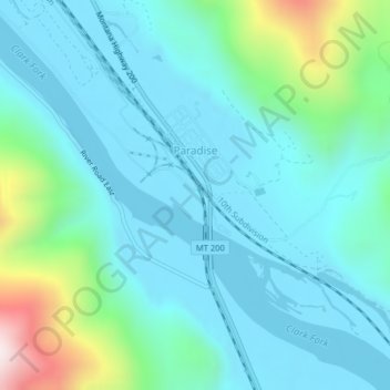
Name: Paradise topographic map, elevation, terrain.
Location: Paradise, Sanders County, Montana, United States (47.38006 -114.80703 47.39195 -114.78914)
Average elevation: 881 m
Minimum elevation: 749 m
Maximum elevation: 1,467 m
Thank you for supporting this site ❤️
Make a donation
Make a donation