
Neumühle/Elster topographic map
Interactive map
Click on the map to display elevation.
About this map
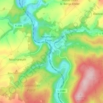
Name: Neumühle/Elster topographic map, elevation, terrain.
Location: Neumühle/Elster, Greiz, Thüringen, Deutschland (50.68110 12.15244 50.71536 12.22127)
Average elevation: 325 m
Minimum elevation: 232 m
Maximum elevation: 445 m