
Thank you for supporting this site ❤️
Make a donation
Make a donation
Junosuando topographic map
Click on the map to display elevation.
Thank you for supporting this site ❤️
Make a donation
Make a donation
About this map
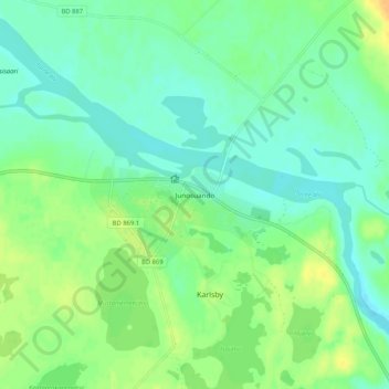
Name: Junosuando topographic map, elevation, terrain.
Location: Junosuando, Pajala kommun, Norrbotten County, 984 96, Sweden (67.40829 22.49142 67.44829 22.53142)
Average elevation: 217 m
Minimum elevation: 207 m
Maximum elevation: 232 m
Thank you for supporting this site ❤️
Make a donation
Make a donation
Other topographic maps
Click on a map to view its topography, its elevation and its terrain.