
تستور topographic map
Interactive map
Click on the map to display elevation.
About this map
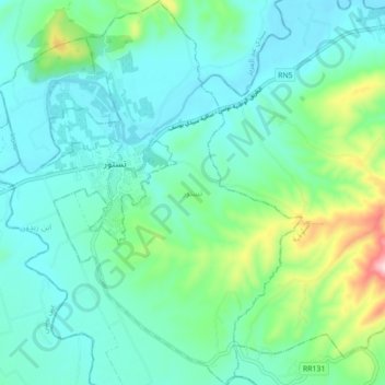
Name: تستور topographic map, elevation, terrain.
Location: تستور, معتمدية تستور, Béja, Tunisia (36.51111 9.42496 36.58207 9.48463)
Average elevation: 129 m
Minimum elevation: 57 m
Maximum elevation: 405 m