
草达坂农事队 topographic map
Interactive map
Click on the map to display elevation.
About this map
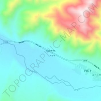
Name: 草达坂农事队 topographic map, elevation, terrain.
Location: 草达坂农事队, 阿柔乡, 祁连县, 海北藏族自治州, 青海省, 中国 (38.05164 100.39918 38.09164 100.43918)
Average elevation: 3,096 m
Minimum elevation: 2,934 m
Maximum elevation: 3,552 m