
Phooliya Kalan Tehsil topographic map
Interactive map
Click on the map to display elevation.
About this map
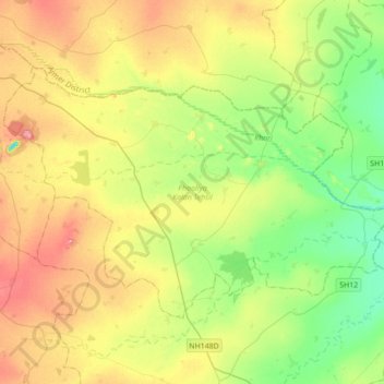
Name: Phooliya Kalan Tehsil topographic map, elevation, terrain.
Location: Phooliya Kalan Tehsil, Bhilwara District, Rajasthan, India (25.69206 74.72986 25.89781 75.07775)
Average elevation: 374 m
Minimum elevation: 336 m
Maximum elevation: 425 m
Other topographic maps
Click on a map to view its topography, its elevation and its terrain.