
Mihoub topographic map
Interactive map
Click on the map to display elevation.
About this map
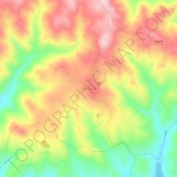
Name: Mihoub topographic map, elevation, terrain.
Location: Mihoub, Daïra El Azizia, Médéa, Algérie (36.33150 3.45548 36.37150 3.49548)
Average elevation: 744 m
Minimum elevation: 593 m
Maximum elevation: 879 m