
Thank you for supporting this site ❤️
Make a donation
Make a donation
Reactor Woods topographic map
Click on the map to display elevation.
Thank you for supporting this site ❤️
Make a donation
Make a donation
About this map
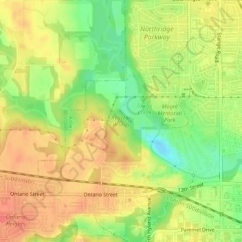
Name: Reactor Woods topographic map, elevation, terrain.
Location: Reactor Woods, Ames, Story County, Iowa, United States (42.03809 -93.66887 42.04721 -93.65674)
Average elevation: 292 m
Minimum elevation: 261 m
Maximum elevation: 313 m
Thank you for supporting this site ❤️
Make a donation
Make a donation
Other topographic maps
Click on a map to view its topography, its elevation and its terrain.