
古贤镇 topographic map
Interactive map
Click on the map to display elevation.
About this map
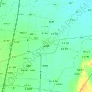
Name: 古贤镇 topographic map, elevation, terrain.
Location: 古贤镇, 汤阴县, 安阳市, 河南省, 中国 (35.90600 114.41900 35.98600 114.49900)
Average elevation: 65 m
Minimum elevation: 56 m
Maximum elevation: 89 m