
楼子营镇 topographic map
Interactive map
Click on the map to display elevation.
About this map
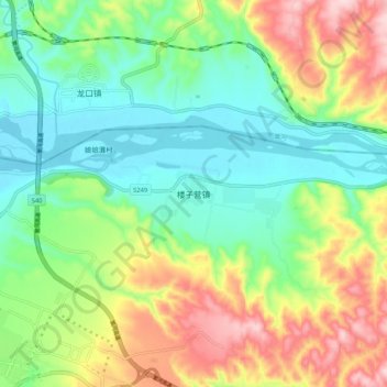
Name: 楼子营镇 topographic map, elevation, terrain.
Location: 楼子营镇, 河曲县, 忻州市, 山西省, 中国 (39.37322 111.19464 39.45322 111.27464)
Average elevation: 957 m
Minimum elevation: 851 m
Maximum elevation: 1,147 m
Other topographic maps
Click on a map to view its topography, its elevation and its terrain.