
Thank you for supporting this site ❤️
Make a donation
Make a donation
Chelsea topographic map
Click on the map to display elevation.
Thank you for supporting this site ❤️
Make a donation
Make a donation
About this map
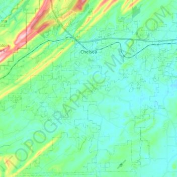
Name: Chelsea topographic map, elevation, terrain.
Location: Chelsea, Shelby County, Alabama, United States (33.23982 -86.72245 33.37937 -86.54791)
Average elevation: 179 m
Minimum elevation: 132 m
Maximum elevation: 374 m
Thank you for supporting this site ❤️
Make a donation
Make a donation
Other topographic maps
Click on a map to view its topography, its elevation and its terrain.
Thank you for supporting this site ❤️
Make a donation
Make a donation
Thank you for supporting this site ❤️
Make a donation
Make a donation