
龙潭街道 topographic map
Interactive map
Click on the map to display elevation.
About this map
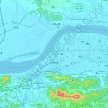
Name: 龙潭街道 topographic map, elevation, terrain.
Location: 龙潭街道, 栖霞区, 南京市, 江苏省, 中国 (32.15798 119.02149 32.24706 119.23951)
Average elevation: 25 m
Minimum elevation: -1 m
Maximum elevation: 422 m
Other topographic maps
Click on a map to view its topography, its elevation and its terrain.