
江边乡 topographic map
Interactive map
Click on the map to display elevation.
About this map
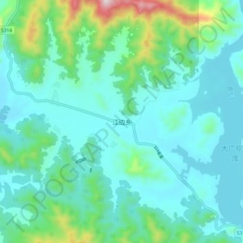
Name: 江边乡 topographic map, elevation, terrain.
Location: 江边乡, 东方市, 海南省, 中国 (18.85665 108.93326 18.93665 109.01326)
Average elevation: 233 m
Minimum elevation: 114 m
Maximum elevation: 771 m
Other topographic maps
Click on a map to view its topography, its elevation and its terrain.