Geolocate

Culver topographic map

Interactive map

Click on the map to display elevation.

About this map

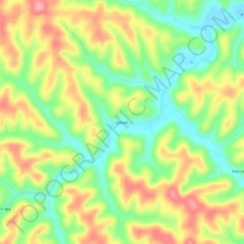
Name: Culver topographic map, elevation, terrain.

Location: Culver, Elliott County, Kentucky, United States (38.06397 -83.01100 38.10397 -82.97100)

Average elevation: 271 m

Minimum elevation: 212 m

Maximum elevation: 339 m

Other topographic maps

Click on a map to view its topography, its elevation and its terrain.

Stark

United States > Kentucky > Elliott County

Stark, Elliott County, Kentucky, United States

Average elevation: 285 m

Ibex

United States > Kentucky > Elliott County

Ibex, Elliott County, Kentucky, United States

Average elevation: 249 m

Newfoundland

United States > Kentucky > Elliott County

Newfoundland, Elliott County, Kentucky, 41171, United States

Average elevation: 259 m

Sandy Hook

United States > Kentucky > Elliott County

Sandy Hook, Elliott County, Kentucky, United States

Average elevation: 261 m

Isonville

United States > Kentucky > Elliott County

Isonville, Elliott County, Kentucky, 41149, United States

Average elevation: 275 m