
Thank you for supporting this site ❤️
Make a donation
Make a donation
Soutocico topographic map
Click on the map to display elevation.
Thank you for supporting this site ❤️
Make a donation
Make a donation
About this map
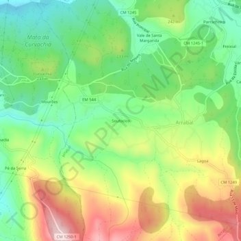
Name: Soutocico topographic map, elevation, terrain.
Location: Soutocico, Arrabal, Leiria, 2420-008, Portugal (39.68003 -8.76180 39.72003 -8.72180)
Average elevation: 210 m
Minimum elevation: 78 m
Maximum elevation: 399 m
Thank you for supporting this site ❤️
Make a donation
Make a donation