
Oued Allenda topographic map
Interactive map
Click on the map to display elevation.
About this map
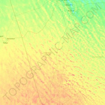
Name: Oued Allenda topographic map, elevation, terrain.
Location: Oued Allenda, Daïra Mih Ouensa, El Oued, Algérie (32.68294 6.66022 33.35798 6.90191)
Average elevation: 105 m
Minimum elevation: 70 m
Maximum elevation: 157 m