
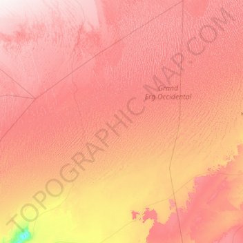
Tinerkouk topographic map
Interactive map
Click on the map to display elevation.
About this map
Name: Tinerkouk topographic map, elevation, terrain.
Location: Tinerkouk, Daïra de Tinerkouk, Timimoune, 01013, Algérie (29.28221 0.48357 31.65961 2.05899)
Average elevation: 487 m
Minimum elevation: 205 m
Maximum elevation: 750 m
Other topographic maps
Click on a map to view its topography, its elevation and its terrain.
Tidji
Algérie > Timimoune > Daïra de Tinerkouk > Tinerkouk > Zaouiet Debagh > Tidji
Tidji, Zaouiet Debagh, Tinerkouk, Daïra de Tinerkouk, Timimoune, 01013, Algérie
Average elevation: 356 m