
Thank you for supporting this site ❤️
Make a donation
Make a donation
Glenmont topographic map
Click on the map to display elevation.
Thank you for supporting this site ❤️
Make a donation
Make a donation
About this map
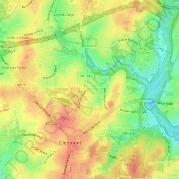
Name: Glenmont topographic map, elevation, terrain.
Location: Glenmont, Montgomery County, Maryland, United States (39.05470 -77.07064 39.08295 -77.02312)
Average elevation: 114 m
Minimum elevation: 79 m
Maximum elevation: 143 m
Thank you for supporting this site ❤️
Make a donation
Make a donation