
Cerro Chimborazo topographic map
Interactive map
Click on the map to display elevation.
About this map
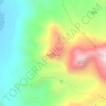
Name: Cerro Chimborazo topographic map, elevation, terrain.
Location: Cerro Chimborazo, Imantag, Cotacachi, Imbabura, Ecuador (0.48572 -78.34668 0.48582 -78.34658)
Average elevation: 3,931 m
Minimum elevation: 3,589 m
Maximum elevation: 4,414 m
Other topographic maps
Click on a map to view its topography, its elevation and its terrain.