
Thank you for supporting this site ❤️
Make a donation
Make a donation
Heuberg topographic map
Click on the map to display elevation.
Thank you for supporting this site ❤️
Make a donation
Make a donation
Heuberg
Die älteste Ortsnamensform „Hegeberch“ zeigt, dass es sich bei der Siedlung um einen eingehegten Bereich auf einer Anhöhe handelte.
Thank you for supporting this site ❤️
Make a donation
Make a donation
About this map
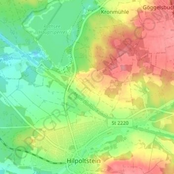
Name: Heuberg topographic map, elevation, terrain.
Average elevation: 392 m
Minimum elevation: 354 m
Maximum elevation: 437 m
Thank you for supporting this site ❤️
Make a donation
Make a donation
Other topographic maps
Click on a map to view its topography, its elevation and its terrain.