
Thank you for supporting this site ❤️
Make a donation
Make a donation
Smithboro topographic map
Click on the map to display elevation.
Thank you for supporting this site ❤️
Make a donation
Make a donation
About this map
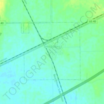
Name: Smithboro topographic map, elevation, terrain.
Location: Smithboro, Bond County, Illinois, 62284, United States (38.88698 -89.35016 38.90243 -89.33122)
Average elevation: 169 m
Minimum elevation: 162 m
Maximum elevation: 181 m
Thank you for supporting this site ❤️
Make a donation
Make a donation
Other topographic maps
Click on a map to view its topography, its elevation and its terrain.