
云台山镇 topographic map
Interactive map
Click on the map to display elevation.
About this map
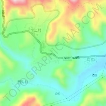
Name: 云台山镇 topographic map, elevation, terrain.
Location: 云台山镇, 岸上村, 修武县, 焦作市, 河南省, 中国 (35.41423 113.37754 35.41433 113.37764)
Average elevation: 329 m
Minimum elevation: 211 m
Maximum elevation: 552 m