
花园镇 topographic map
Interactive map
Click on the map to display elevation.
About this map
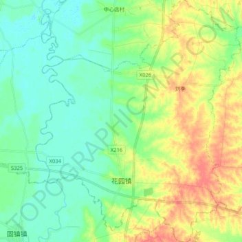
Name: 花园镇 topographic map, elevation, terrain.
Location: 花园镇, 霍邱县, 六安市, 安徽省, 中国 (32.00777 116.32788 32.14245 116.46272)
Average elevation: 35 m
Minimum elevation: 17 m
Maximum elevation: 68 m