
扶桂村 topographic map
Interactive map
Click on the map to display elevation.
About this map
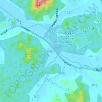
Name: 扶桂村 topographic map, elevation, terrain.
Location: 扶桂村, 东成镇, 新兴县, 云浮市, 广东省, 中国 (22.67754 112.28204 22.71754 112.32204)
Average elevation: 53 m
Minimum elevation: 24 m
Maximum elevation: 277 m