
Thank you for supporting this site ❤️
Make a donation
Make a donation
Paterson topographic map
Click on the map to display elevation.
Thank you for supporting this site ❤️
Make a donation
Make a donation
About this map
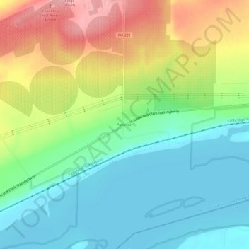
Name: Paterson topographic map, elevation, terrain.
Location: Paterson, Benton County, Washington, United States (45.91708 -119.62280 45.95708 -119.58280)
Average elevation: 125 m
Minimum elevation: 79 m
Maximum elevation: 203 m
Thank you for supporting this site ❤️
Make a donation
Make a donation
Other topographic maps
Click on a map to view its topography, its elevation and its terrain.