
Bhintuka topographic map
Interactive map
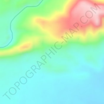
Click on the map to display elevation.
About this map
Name: Bhintuka topographic map, elevation, terrain.
Average elevation: 156 m
Minimum elevation: 74 m
Maximum elevation: 331 m
Other topographic maps
Click on a map to view its topography, its elevation and its terrain.
Waa
Indonesia > Central Papua > Deiyai
Waa, Deiyai, Central Papua, Western New Guinea, Indonesia
Average elevation: 606 m
Jagamin
Indonesia > Central Papua > Deiyai
Jagamin, Deiyai, Central Papua, Western New Guinea, Indonesia
Average elevation: 1,463 m
Arwandop
Indonesia > Central Papua > Deiyai
Arwandop, Deiyai, Central Papua, Western New Guinea, Indonesia
Average elevation: 1,389 m
Opitawak
Indonesia > Central Papua > Deiyai
Opitawak, Deiyai, Central Papua, Western New Guinea, Indonesia
Average elevation: 917 m