
中原镇 topographic map
Interactive map
Click on the map to display elevation.
About this map
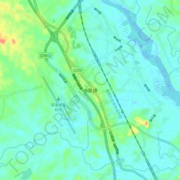
Name: 中原镇 topographic map, elevation, terrain.
Location: 中原镇, 琼海市, 海南省, 中国 (19.10787 110.42759 19.18787 110.50759)
Average elevation: 13 m
Minimum elevation: -2 m
Maximum elevation: 64 m
Other topographic maps
Click on a map to view its topography, its elevation and its terrain.