
Thank you for supporting this site ❤️
Make a donation
Make a donation
Lotenhulle topographic map
Click on the map to display elevation.
Thank you for supporting this site ❤️
Make a donation
Make a donation
Lotenhulle
Lotenhulle ligt in het Meetjesland op een hoogte van ongeveer 15 meter. De belangrijkste waterloop is de Neerschuurbeek.
Thank you for supporting this site ❤️
Make a donation
Make a donation
About this map
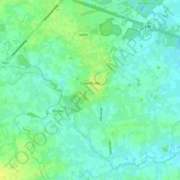
Name: Lotenhulle topographic map, elevation, terrain.
Location: Lotenhulle, Aalter, Gent, Oost-Vlaanderen, België (51.02343 3.42608 51.07172 3.51341)
Average elevation: 13 m
Minimum elevation: 6 m
Maximum elevation: 26 m
Thank you for supporting this site ❤️
Make a donation
Make a donation
Other topographic maps
Click on a map to view its topography, its elevation and its terrain.