
Thank you for supporting this site ❤️
Make a donation
Make a donation
Pohjentrek topographic map
Click on the map to display elevation.
Thank you for supporting this site ❤️
Make a donation
Make a donation
About this map
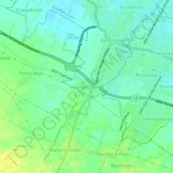
Name: Pohjentrek topographic map, elevation, terrain.
Location: Pohjentrek, Pasuruan, East Java, Java, 67171, Indonesia (-7.69303 112.86696 -7.65303 112.90696)
Average elevation: 14 m
Minimum elevation: 5 m
Maximum elevation: 27 m
Thank you for supporting this site ❤️
Make a donation
Make a donation