
Ouled Chebacheb topographic map
Interactive map
Click on the map to display elevation.
About this map
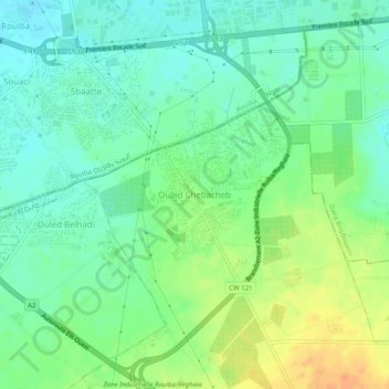
Name: Ouled Chebacheb topographic map, elevation, terrain.
Average elevation: 36 m
Minimum elevation: 21 m
Maximum elevation: 60 m
Other topographic maps
Click on a map to view its topography, its elevation and its terrain.
Ouled El Ghalia
Algérie > Boumerdès > Daïra Khemis El Khechna > Khemis El Khechna
Ouled El Ghalia, Khemis El Khechna, Daïra Khemis El Khechna, Boumerdès, 35017, Algérie
Average elevation: 103 m