
Thank you for supporting this site ❤️
Make a donation
Make a donation
Alamo Township topographic map
Click on the map to display elevation.
Thank you for supporting this site ❤️
Make a donation
Make a donation
About this map
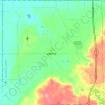
Name: Alamo Township topographic map, elevation, terrain.
Location: Alamo Township, Kalamazoo County, Michigan, United States (42.33155 -85.76537 42.42098 -85.64808)
Average elevation: 245 m
Minimum elevation: 213 m
Maximum elevation: 316 m
Thank you for supporting this site ❤️
Make a donation
Make a donation
Other topographic maps
Click on a map to view its topography, its elevation and its terrain.