
Thank you for supporting this site ❤️
Make a donation
Make a donation
Piedmont topographic map
Click on the map to display elevation.
Thank you for supporting this site ❤️
Make a donation
Make a donation
About this map
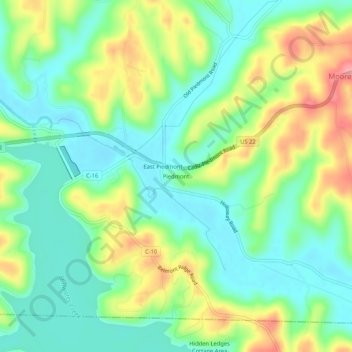
Name: Piedmont topographic map, elevation, terrain.
Location: Piedmont, Harrison County, Ohio, 43983, United States (40.16840 -81.21649 40.20840 -81.17649)
Average elevation: 305 m
Minimum elevation: 265 m
Maximum elevation: 376 m
Thank you for supporting this site ❤️
Make a donation
Make a donation
Other topographic maps
Click on a map to view its topography, its elevation and its terrain.
Thank you for supporting this site ❤️
Make a donation
Make a donation
Thank you for supporting this site ❤️
Make a donation
Make a donation