
Tagbilaran topographic map
Click on the map to display elevation.
About this map
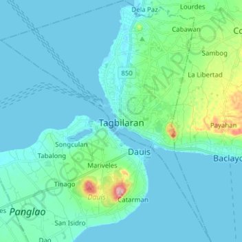
Name: Tagbilaran topographic map, elevation, terrain.
Location: Tagbilaran, Bohol, Central Visayas, Philippines (9.57909 123.79340 9.70281 123.90246)
Average elevation: 25 m
Minimum elevation: -2 m
Maximum elevation: 187 m
Other topographic maps
Click on a map to view its topography, its elevation and its terrain.