
Challenger Estates topographic map
Interactive map
Click on the map to display elevation.
About this map
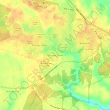
Name: Challenger Estates topographic map, elevation, terrain.
Average elevation: 36 m
Minimum elevation: 12 m
Maximum elevation: 47 m
Other topographic maps
Click on a map to view its topography, its elevation and its terrain.
Friendly Pines
United States > Maryland > Saint Mary's County > Lexington Park
Friendly Pines, Lexington Park, Saint Mary's County, Maryland, 20634, United States
Average elevation: 27 m