
Thank you for supporting this site ❤️
Make a donation
Make a donation
Malandruge topographic map
Click on the map to display elevation.
Thank you for supporting this site ❤️
Make a donation
Make a donation
About this map
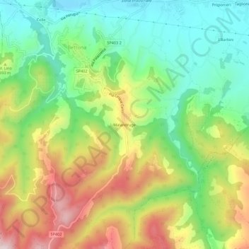
Name: Malandruge topographic map, elevation, terrain.
Location: Malandruge, Bettona, Perugia, Umbria, 06084, Italy (42.98116 12.47521 43.02116 12.51521)
Average elevation: 351 m
Minimum elevation: 175 m
Maximum elevation: 608 m
Thank you for supporting this site ❤️
Make a donation
Make a donation